A GIS-NSDI EXHIBITION SHOWS HOW THE USE OF GEOGRAPHIC DATA CAN IMPROVE NATIONAL PROCESSES.
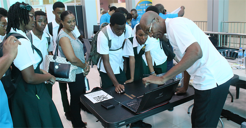
Saint Lucia’s students, yesterday, attended an exhibition on the use of geo-spatial data and technology.
The 2022 GIS/NSDI Exhibition allowed public and private sector organisations to showcase this technology to members of the media, the public and secondary school students.
 Geographic Information Systems (GIS) is a computer system used for storing and displaying data related to positions on the earth’s surface. GIS can combine many kinds of data on one map to respond to real world problems. National Spatial Data Infrastructure (NSDI) is a mechanism using technology, policies, standards, criteria and human resources to promote data sharing through public and private sectors, academia and Non-Governmental Organisations.
The sharing and use of geographic data can lead to improvements in country/infrastructural planning, housing, agriculture, disaster preparedness, disaster early warning systems, emergency response and other state services.
The students were treated to a display of the varied use of mapping, census and drone technology from organisations such as LUCELEC, the Ministry of Agriculture, Fisheries, Food Security and Rural Development, the Statistical Department and technology company, ‘Map & IT’.
NSDI is an initiative of the Disaster Vulnerability Reduction Project (DVRP). The week of activities is Saint Lucia’s recognition of GIS Day 2022. GIS day is recognized globally on November 16.
For more information on climate resilience and the DVRP visit the SLU Disaster Vulnerability Reduction Project's Facebook and Instagram pages.